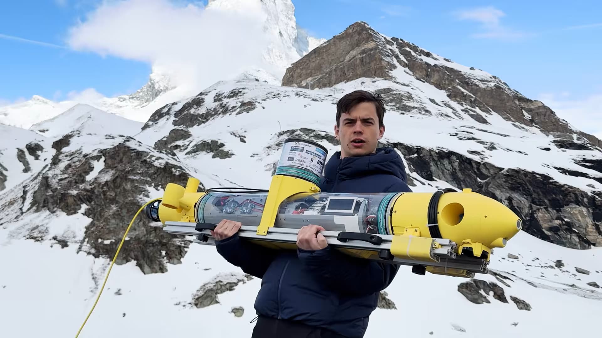
An ETH Zurich student team built a submersible drone to map ice thickness on frozen alpine lakes, replacing the current standard of manually drilling holes and spot-checking depth. The vehicle is slightly positively buoyant, carries two concrete ballasts, runs six propulsion motors for full six-degree-of-freedom control, and is powered by an NVIDIA Jetson for autonomous operation. Navigation combines GPS, housed in a radome that presses against the ice underside for a reliable fix, and SBL positioning via a trio of hydrophones receiving audio pings from the drone.
The original measurement plan failed. Sonar dual-return analysis, which reads the gap between the signal bouncing off the ice bottom and the portion passing through, produced too much noise for usable data. The team fell back to a pressure-based depth method: press the drone against the ice underside, read water pressure, calculate thickness. It works, but it has a documented blind spot. On alpine lakes, snowfall depresses the primary ice sheet and a second sheet can form above it. Pressure depth captures total sheet thickness, not the critical upper layer.
Read the original for the full breakdown of the SBL hydrophone geometry, the radome GPS fix mechanics, and exactly where the sonar signal processing broke down. The gap between the theory and the field results is the story.
[READ ORIGINAL →]